


Next threat of severe weather expected Friday night

AUSTIN (KXAN) — Similar to what played out last Monday night and again Friday morning, yet another upper level storm system is expected to dive in from the Pacific Northwest late this week brining another round of storms and showers to Central Texas.
As the strong storm system approaches the state late week, moisture surging in along southerly winds will help moisten up the atmosphere Thursday and Friday. Aside from a few isolated sprinkles, rain chances hold off until late Friday when a line of storms is projected to move through the area.
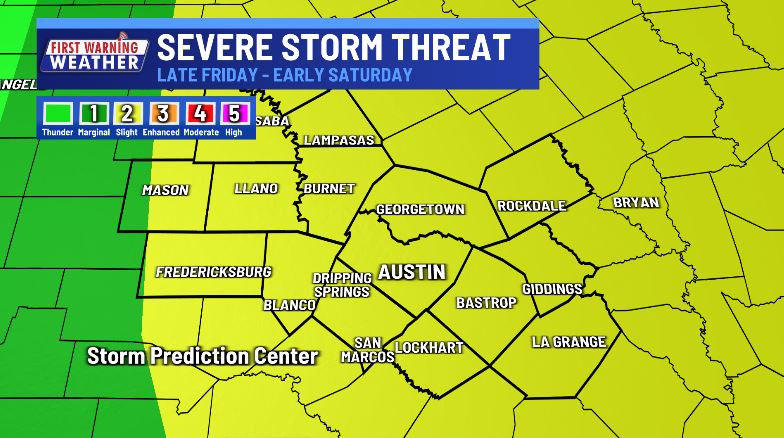
The KXAN viewing area is under a slight risk (level 2 out of 5) for scattered severe storms late Friday into Saturday.

The expected timeline of the storms continues to accelerate, with rain and thunderstorms potentially beginning in the area late Friday afternoon and exiting by 2 a.m. Saturday. This timing will continue to be fine-tuned as the event approaches, so check back for updates as you make weekend plans.


While this storm system is expected to bring welcome rainfall and more rain than we saw Halloween night, we only currently expect 0.5″-1″ for those who see storms.

Stay with KXAN as we gather new data in the coming days and download the free KXAN Weather App in your smartphone app store to be warned first when storms develop.