


Warming trend through midweek

MYRTLE BEACH, S.C. (WBTW) — High pressure will remain in the vicinity today as well as to start the workweek. High temperatures today will range from 73-76 degrees. Partly cloudy conditions are expected today and tonight with all cities forecasted to stay in the 50s. Mid-50s at the coast, near 50 inland.
There is a low-pressure center offshore, paralleling the Carolina coast and it does have moisture associated with it but all of the rain will drain out over the ocean. This center will help increase the number of clouds seen today and tonight. Dry conditions will finish out the work week.
The warming trend will continue ahead of a cold front which will move through Wednesday night. Before the passage, dewpoints are going to be higher, likely dewpoints will be in the 60s at the coast which is just a tad stickier than what we have seen over the last week or so.
The warmest day will be Wednesday before the front moves through. Cities will see above-average temperatures this day with the 80s expected in the Pee Dee and upper-70s at the coast.
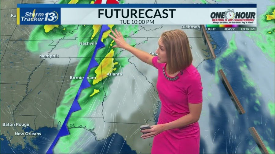
The cold front has an abundance of moisture associated with it when it is located over the Gulf states, but as the front tracks east, the Appalachian Mountains drain all of the moisture from the boundary and it is dry by the time it gets to our viewing area on Wednesday.
The front is weak and there will only be a slight temperature decrease. Currently, a strong front is timed for the weekend.